Labor Day cont’ – Rusk Mountain, Hunter Mountain, and Leavitt Peak
Continuing with my Labor Day weekend, I headed over to at least do Hunter Mountain, and was debating doing the loop as shown on this website. In addition, I was also debating getting Rusk Mountain also, since I was hiking alone, and I hadn’t buskwacked in years, maybe decades. Got to the parking lot with the horse ramps “early”, only one other vehicle was there.
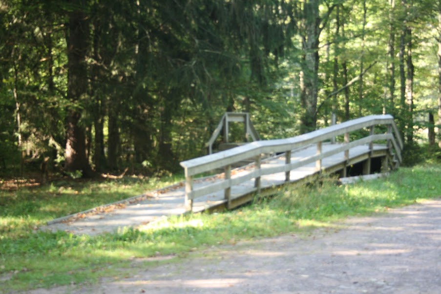
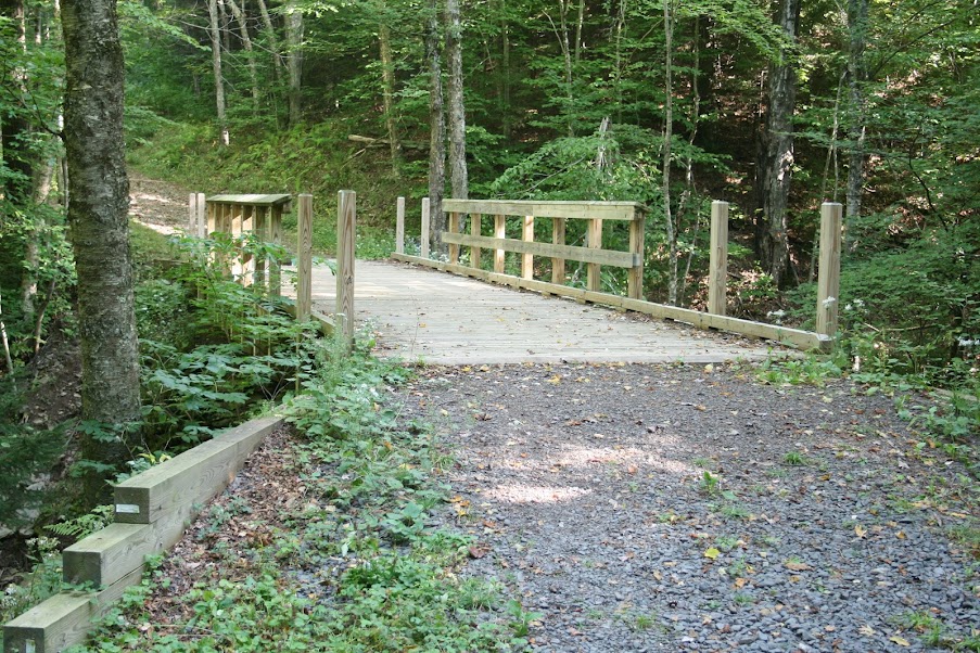
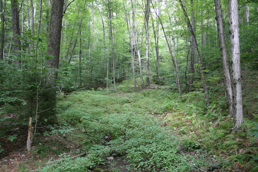
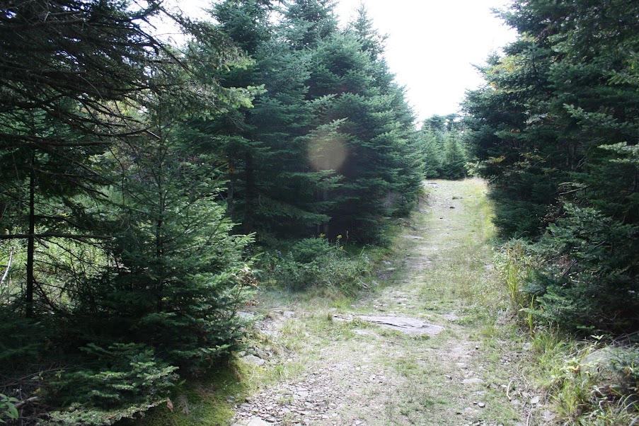
The trail up to the new bridge was a pretty easy walk through the woods…
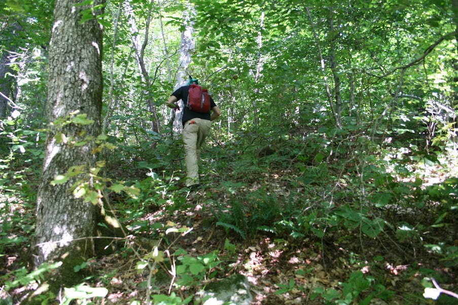
At the hairpin turn, saw another guy there and asked if he was going for Rusk also. He said he was considering it, and that helped make the choice for me. Since the creekbed was dry, we opted to follow that up instead of going through the woods…
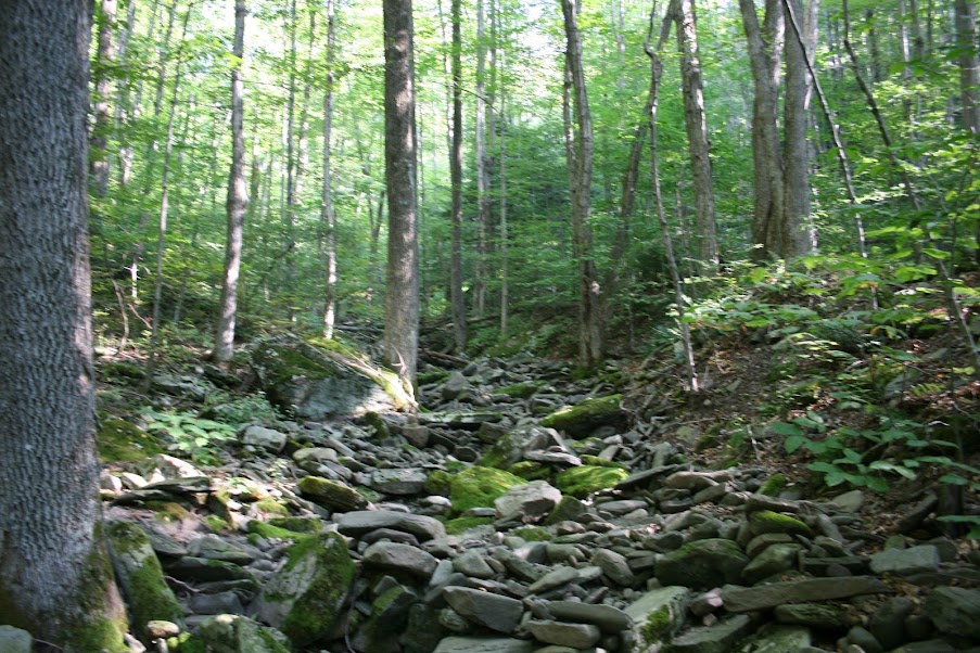
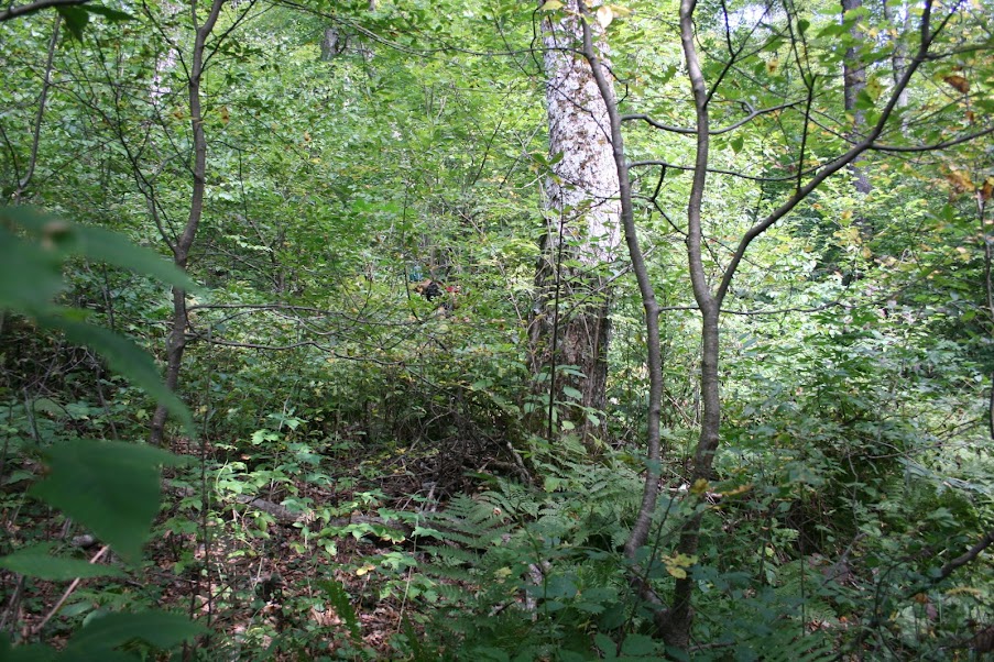
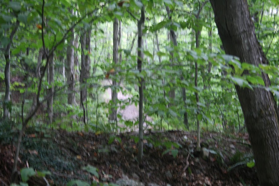
Eventually the creekbed disappeared and the true bushwacking started…
I was slower and soon lost sight of Chris, but had an idea on the direction to go (up of course)…
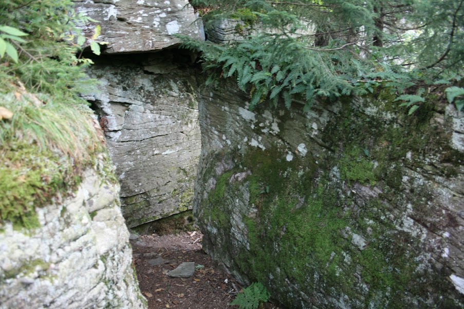
I was heading for the saddle between Rusk and East Rusk, and came across one of the cliffs. Remembering some trip reports that mentioned going around, I saw a path instead ahead of me and decided to take that…

Shortly after I found the herd path on the saddle…

Turned to my left towards Rusk and started walking. Eventually I could hear Chris coming towards me. He had already made the summit and was heading to East Rusk, then down. We said our goodbyes, good hiking, and I continued to Rusk, coming across it just a few minutes later…
After signing the log, I started back the way I came with the intention of getting to East Rusk also. But I kept losing/finding the herd path so I ended up deciding to head down, taking a heading to hopefully intercept the Hunter trail farther up than where I went into the woods. I took a reading with my map and compass, which told me to head south. In hindsight, I should have taken more of a ESE heading. After stumbling down a few hundred feet, I started to see another creek bed…
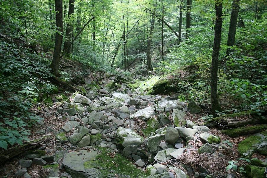
It just seemed to keep going. At one point I saw a rock formation that looked familar to me, like one I’d seen on the way up. Was it possible two different creek beds had the same formation? Sure! iswhat I thought. Soon though, I spotted the trail through the woods…
As I broke through to the trail, I started to look around to figure out where on the Hunter trail I came out. To my left, was still up, to my right…
Crap! I came out exactly where I went in! Oh well, time to keep going…
A part of me kept thinking about stopping for the day, the bushwack took a lot out of me, but as long as i kept putting one foot in front of the other, I figured I could still finish. A while later I hit the spring and decided to take a break and refill my water bladder…
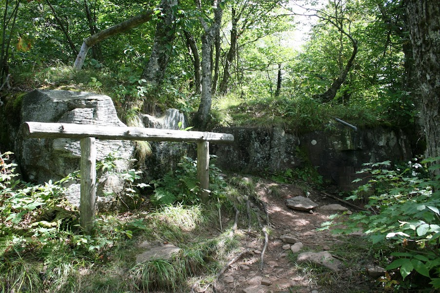
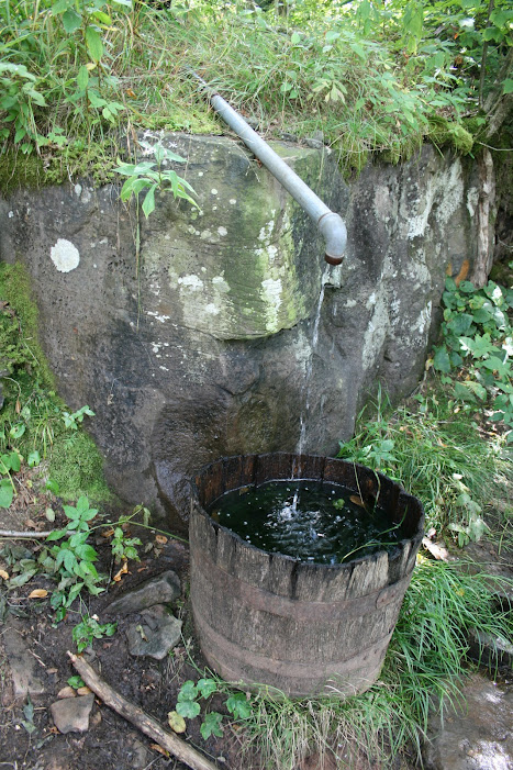
I had already used around a liter of water, so it was good to find a source to refill at.
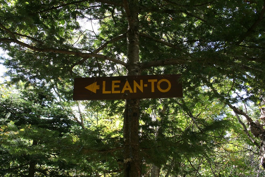
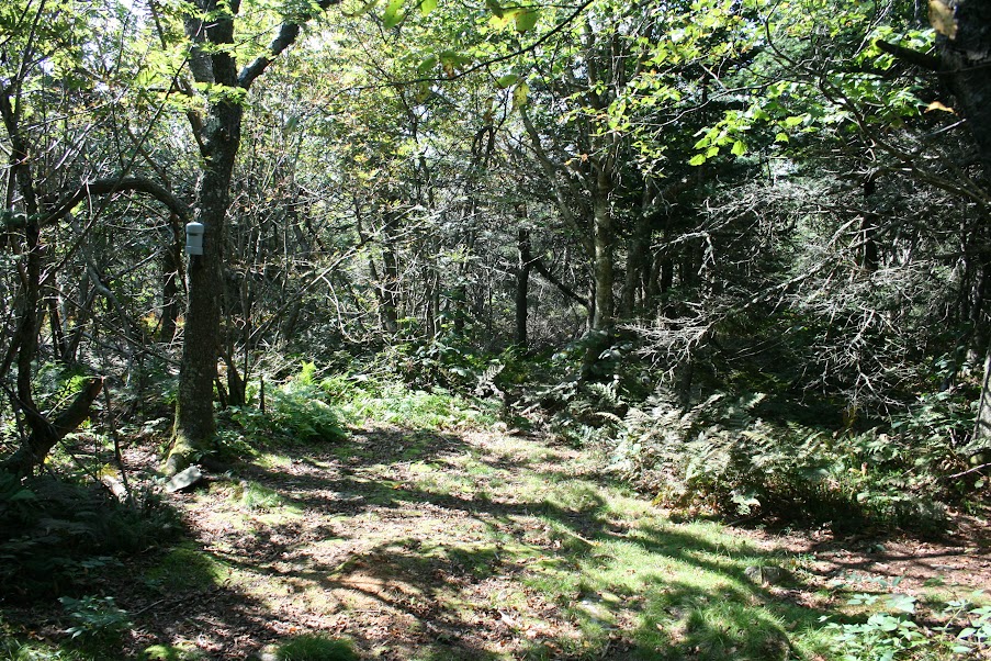
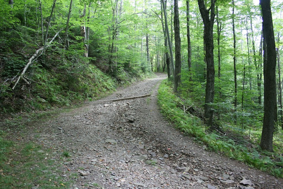
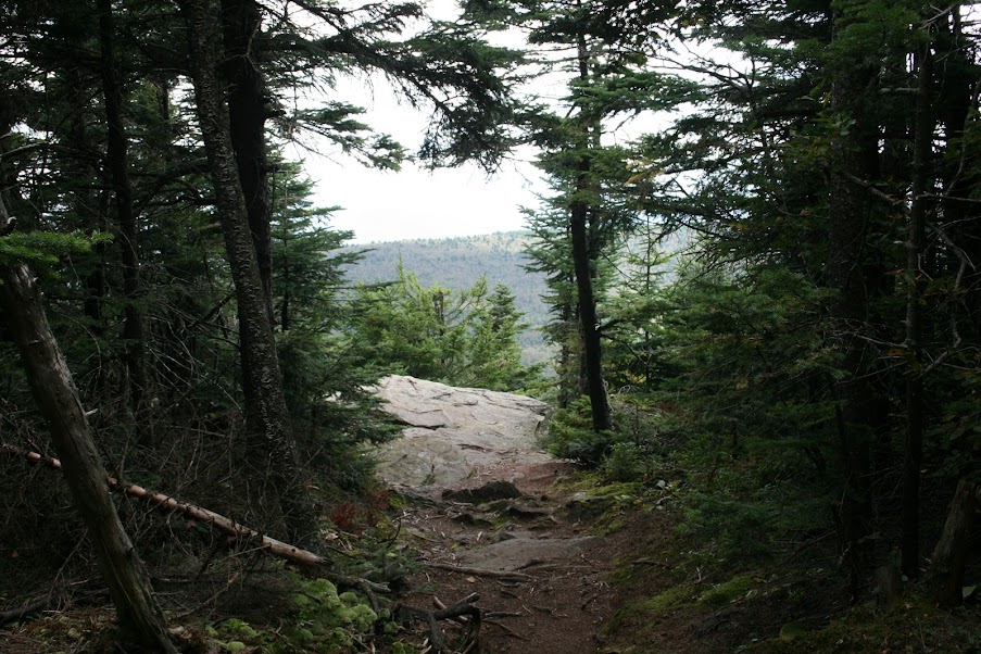
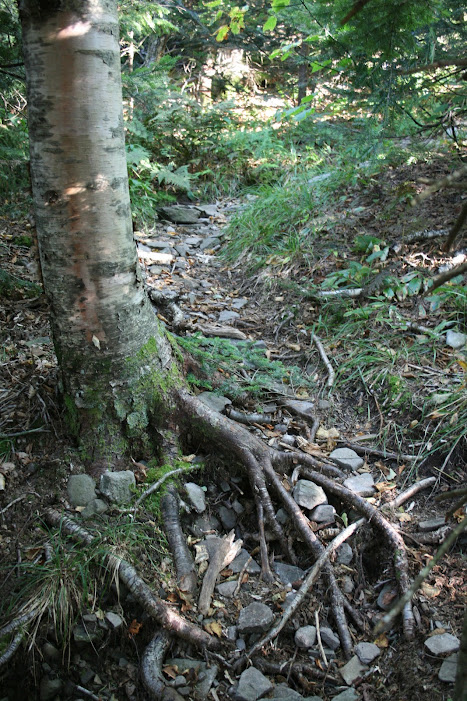
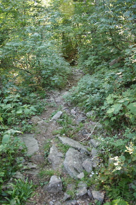
I like this side trail…
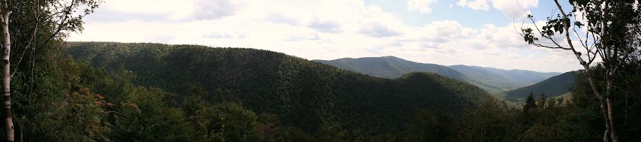
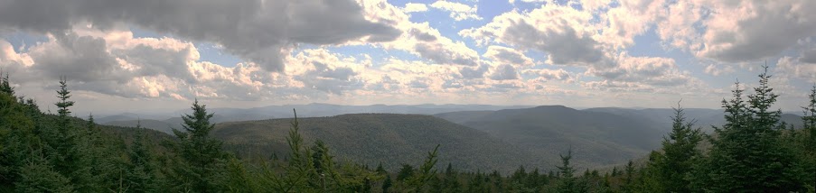
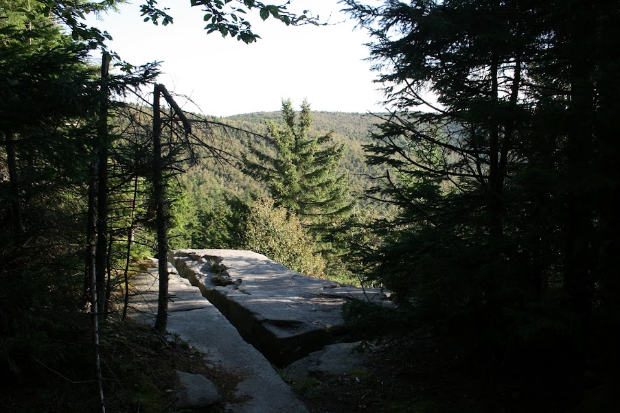
A view from the ledge in front of the lean-to…
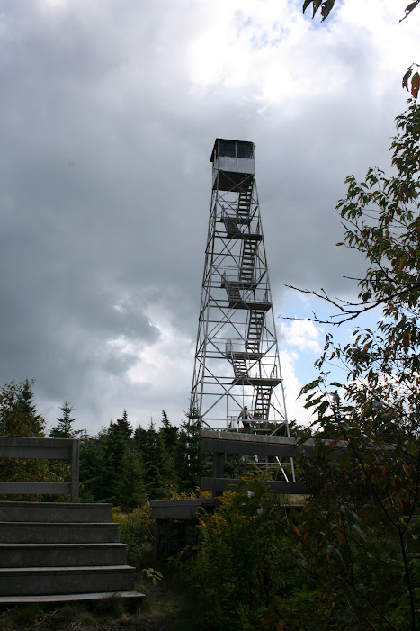
Almost a mile and a half later, I was so close, I could almost taste it…
Success!
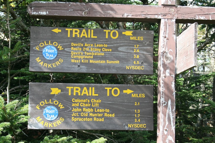
After resting up for 20 minutes or so, it was time to continue, and since either way would be downhill, I decided to finish the loop…
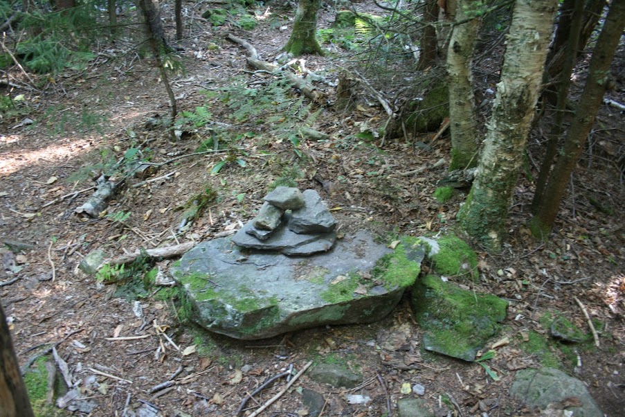
Shortly after the Devils Acre lean-to is the herd path to Leavitt Peak, sometimes refered to as South West Hunter. The cairn at the turn was knocked over so I rebuilt it…
I missed the turnoff though from the herd path to the summit, it looked like just a spot where some water runoff would be…
I had kept hiking, and eventually reached a point where it felt more like a bushwhack than a herd path so I turned around and headed back. On my way I came across two other hikers also looking for the summit. We ended up taking that turn off and found the canister minutes later…
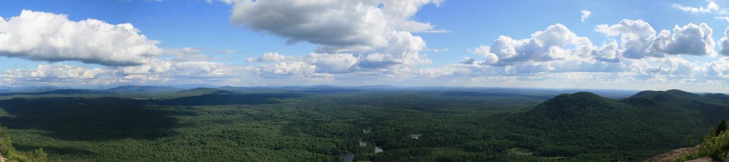
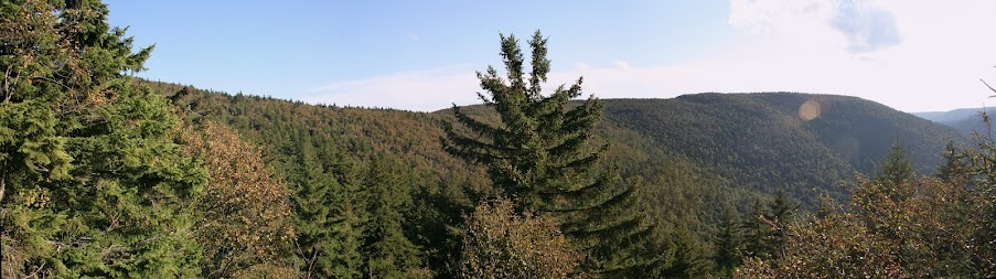
Back to the main trail, and a half mile or so, I came to the Geiger Point turn off, and another ledge…
During this section, I heard something off the trail moving around. Whatever it was, had to be big. But due to the vegetation I couldn’t make out what it was, so I’m going to say it was a bear. And since I thought it was a bear, I kept moving, making sure I couldn’t hear it heading my way.
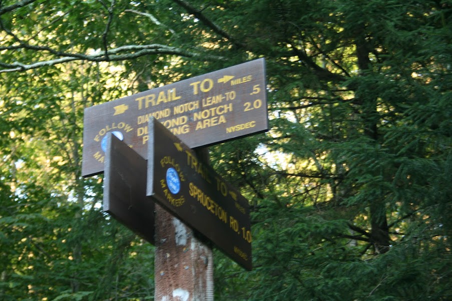
A welcome relief was seeing a sign saying one mile to the parking lot…
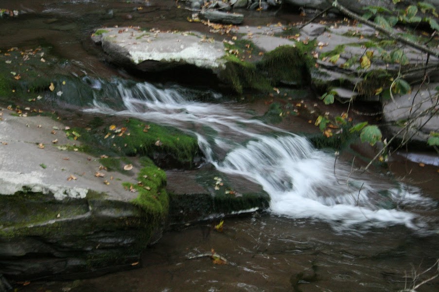
There’s quite a few waterfalls and swimming holes along this stretch that would be a fun hike, even if you don’t go up any mountains…
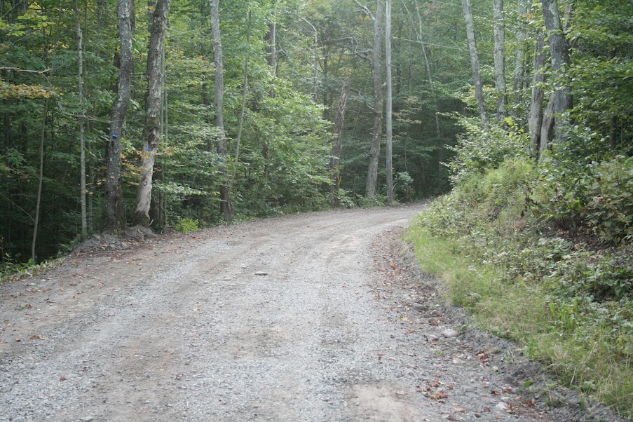
Eventually, I was out on the main road, and soon back to the parking lot…
Overall, a long, long day. But I challenged myself and got three summits done.
- 12.43 miles
- 3808 feet elevation gain
- 10 hours