Stillwater Mountain Fire Tower
On Thursday, I went with Mom and Dad up past Old Forge to the Stillwater Reservior because I had read online of another fire tower in the area whose status in in flux, due to land issues in the area. Due to this, I’m going to be vague in part of my description. There is a friends group looking to restore and open it to hikers, but part of the old trail was over private land, so a new trail was created. After doing a lot (and I do mean a lot) of research, I was able to come up with the approximate location of the old trailhead, but not the new one. So off we went.
We arrived at the possible location of the old trailhead after some back and forth travel down a dirt road, looking for a land mark I had read about. Eventually we found it and parked. While Dad got loaded up (Mom was going to stay behind and read) I went into the woods to find the trail and where it comes out to the road…

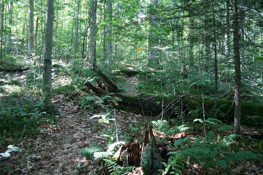
The old trail is still in decent shape, easy to follow, some trees down across it, but you can get around and over them…
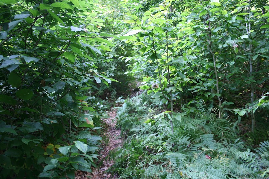
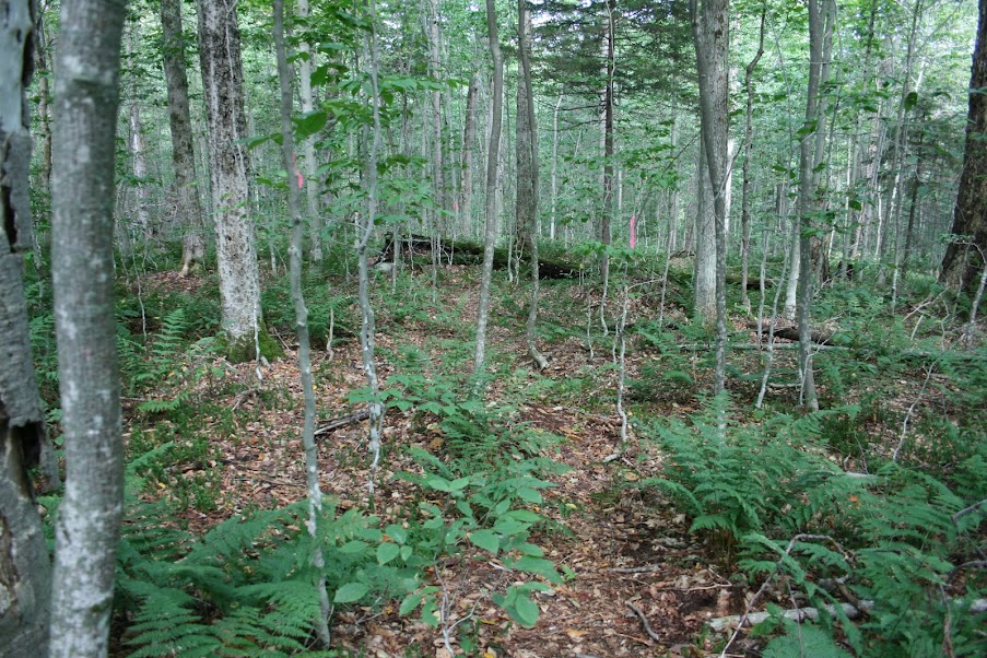
The higher you go though, the trail starts to get smaller due to vegetation growth…
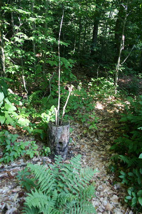
Soon we found the intersection of the old and new trails converge about a half mile in. There was a walking stick storage stump there…
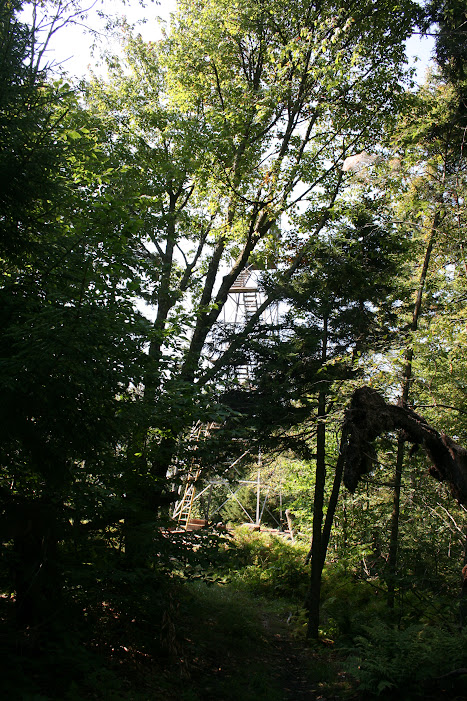
Here the trail alternates between a logging road and a trail. Soon we could make out the tower through the trees…
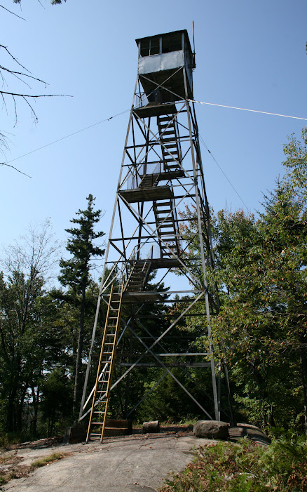
Hey, look! A ladder! It was already set up there, we didn’t put it up.
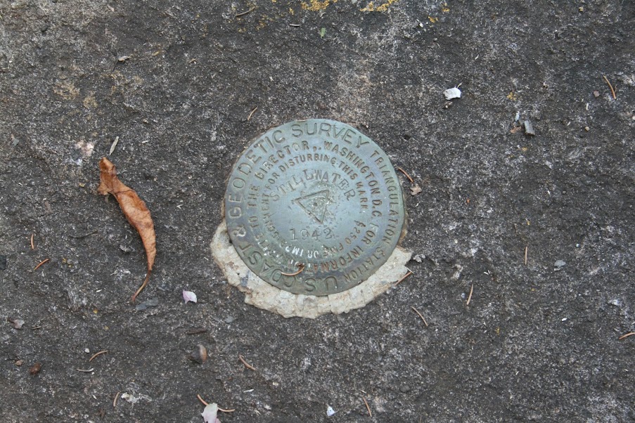
While I looked around for the summit marker…
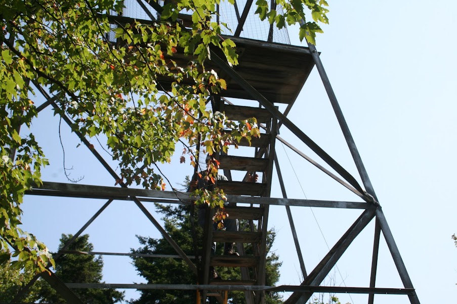
Dad scurried up the ladder…
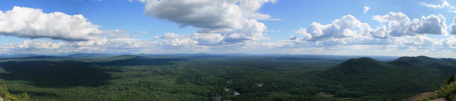
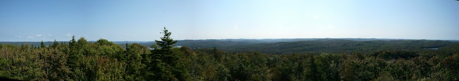
I followed him up and got this panoramic shot of some of the surrounding mountains…
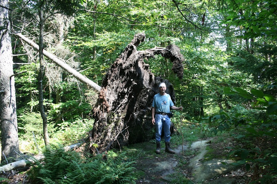
On the way down, there was a blown down pine tree next to the trail, the soil is so thin in areas of the Adirondacks that a good gust of wind can take topple a tree with no problem, since the soil slips right off the bedrock…
Once we hit the split with the old trail on the way down, we took the new trail instead. It goes from kinda easy to follow… 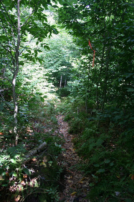
To looking for survey tape to find the way…
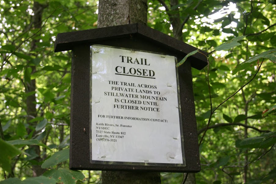
We knew we were close to the end of the new trail when we came across this sign…
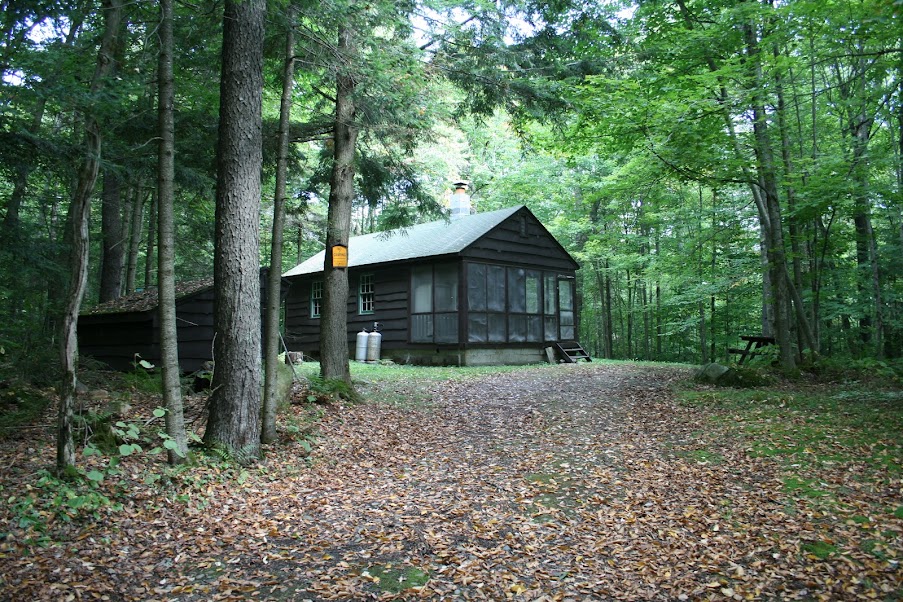
Walking the road back to the car we came across the former Observers Cabin, now a cabin used by the local rangers as a place to stay…
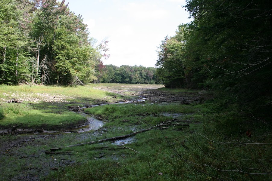
We took a some trails from where we parked down to the reservior to see how low the water level was due to the lack of rain…
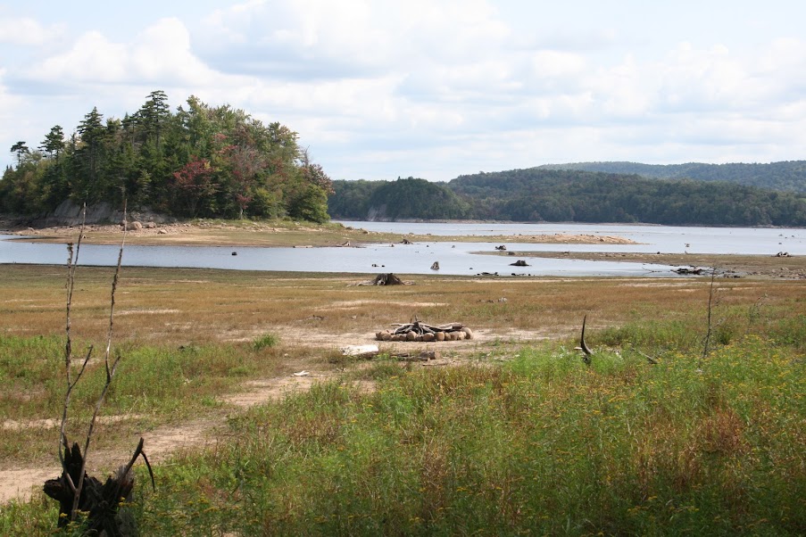
Here’s another view from another trail. The fire pit you see in the middle, is in an area that would normally be under water…
Afterwards, we headed into the Moose River Plains. Finding an empty campsite we had a picnic lunch. Meanwhile, this butterfly would not leave us alone. It kept landing on the car, the cooler, each of us. It was a challenge getting into the car to leave because it wanted to follow…

Specs
- 1.91 miles
- 563 feet elev gain
- 1 hour 11 minutes
To see all my pics from this hike, click here