Moose River Mountain Fire Tower
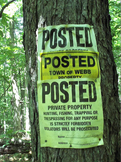
On Sunday, on the way home from camping at Limekiln Lake, I wanted to hike Moose River Mountain, outside of Old Forge, a former Fire Tower site. The parking area is pretty easy to find, it’s down a dirt road from Rt 28, as you leave Thendara. The first portion of the hike is through hunting club property, and they remind you about every 20-40 feet.
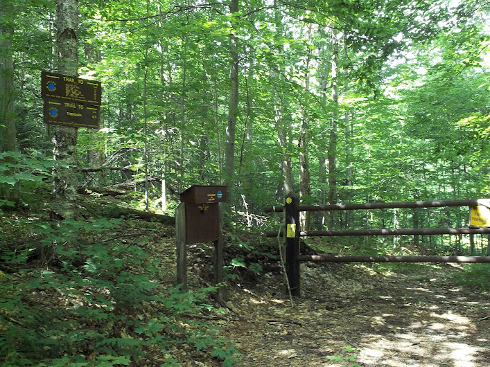
Soon you come to a gate and register box, this is the beginning of the Ha-De-Ron-DAh Wilderness Area.
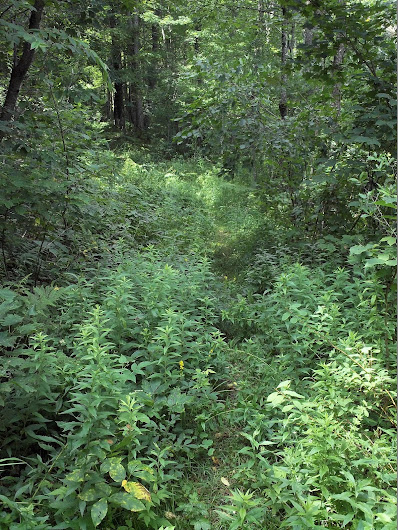
The trail alternates between being a “road” and a path through the woods.
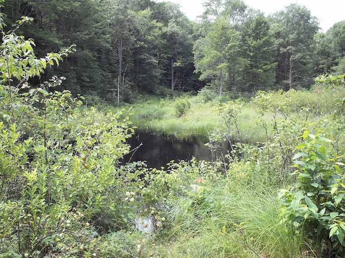
At one point it opens up as you cross over Indian Brook.
The first trail split used to go to East Pond, but it’s not marked anymore. According to a note in the trail register, it’s a “Minimal Maintenance Trail”, so use at your own risk.
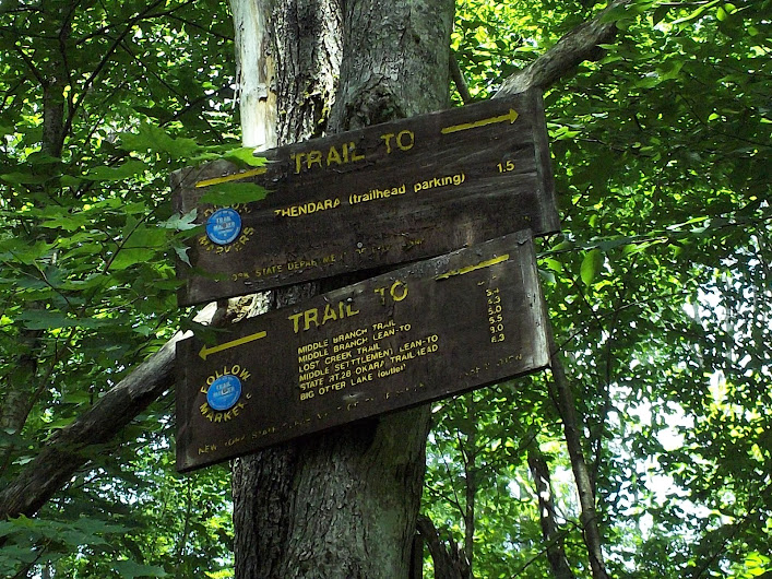
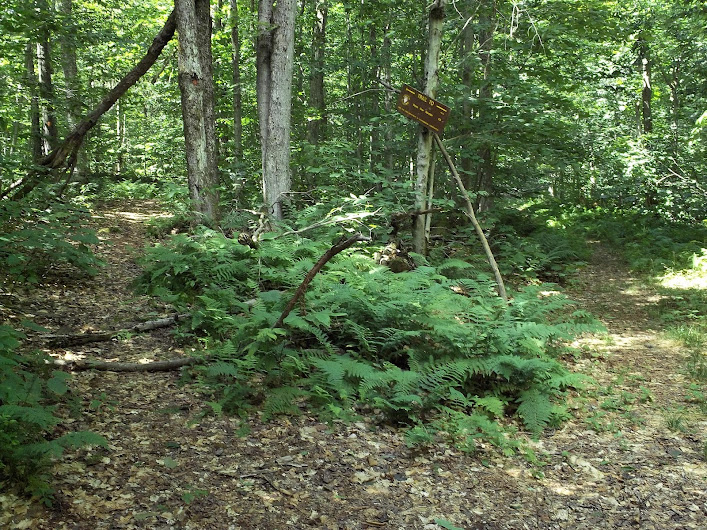
Shortly after, you’ll see the trail for Moose River Mountain split off to the left.
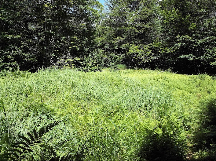
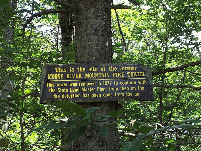
From here’s it’s just a hiking trail, no more road. At one point I began to wonder if I was going the right way, since I didn’t seem to be going up, but I could still see trail markers. Minutes after these thoughts came to mind, I found on open clearing.
And a sign at the far side of it.
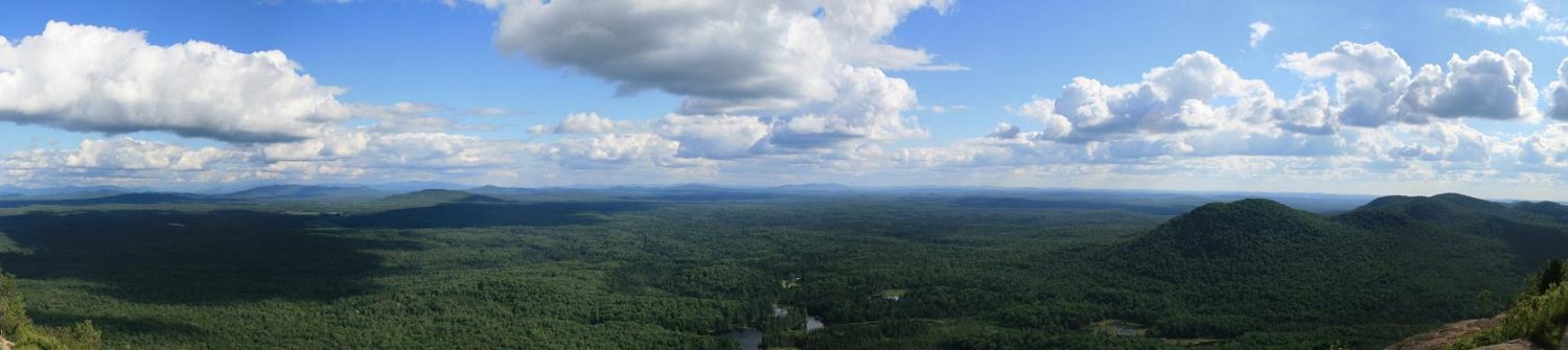
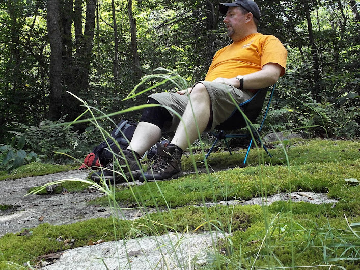
Being the first summit I had actually made this year, I finally got to break out my chair.
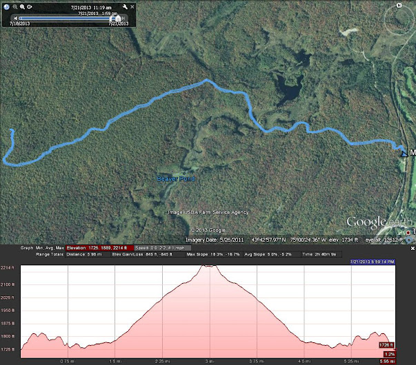
This profile looks more difficult than it was, the “hardest” part was the first quarter mile for elevation gain, the rest was just a gentle uphill climb.
To see all my pictures, click here.