
A trip to the north, Lyon Mountain Fire Tower and an attempt at Averill
On Saturday, I headed up to the Plattsburgh area to get two more fire tower hikes done. First was Lyon Mountain, which has the distinction of being one of the most northern of the hikes listed in the Fire Tower Challenge. Lyon Mountain is also the name of an old mining community. (second link about Lyon Mountain) There was a new trail put in back in 2008, the old trail is still there, and part of it is used with the new trail. (second link about the new trail) After a 4 hour drive from Pulaski, I arrived at the parking lot and the start of the combined old/new trail.
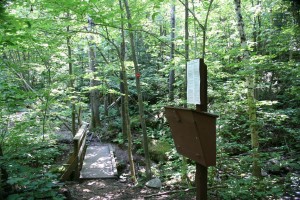
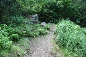
After a short walk, the new trail splits off to the left, leading to the trail register and a small bridge over a stream.
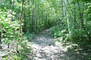
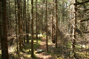
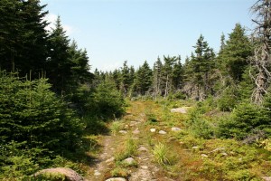
The trail itself is a series of switchbacks, helping to eliminate the steepness of the climb, but adding mileage to the total hike. Because of this, some people will take the new trail up, and the old down.
I kinda liked it, it was easy with just enough elevati….
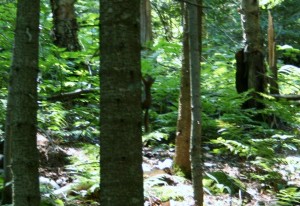
There wasn’t any real good spots to see through the trees to the scenery
Once you get within a half mile of the summit, the new trail rejoins the old trail.
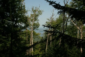
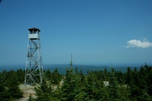
Soon though you get your first view of the tower through the trees
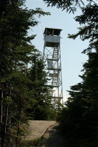
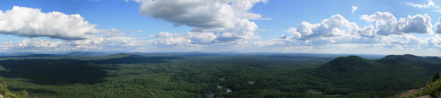
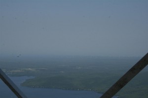
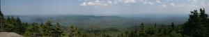
I didn’t get to the cab, too many people on the summit, I think it was “Dudes Day”. I saw the entire time, about 25 guys, but only 4 girls. That includes the group from Quebec of about 12-15 guys that were hiking down as I was coming up. It was too hazy to make out Montreal but I could see a wind farm in the distance.
Now I was heading off to my second mountain of the day, Averill Peak, listed as one of the Adirondack Hundred Highest. There’s two ways up this mountain, a trail from a radio tower, or bushwack from Lyon. I was going to try the bushwack. I had a guide book so I knew the general direction to go and what to look for, mainly a herd path.
Soon I came out to an old logging road
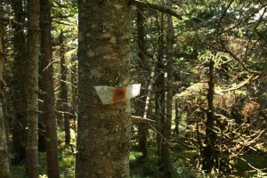
This is where I made my first mistake, I remembered the guide book mentioned the path would continue on the left, so I turned right to find it, since that way it would be on my left (crossing the road). After a quarter mile or so, and not seeing the path, I decided to check the book. Turns out I should have turned left, follow the road, and I would see the path at the end of the road. Also, here’s a trail “marker”…
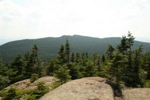
Once I got back on the path, I followed it to an overlook towards Averill. you can just make out the radio tower to the right of the peak.
Here the guide book mentions there would be a “faintly painted arrow” pointing towards where the path continues. I did not see it, so I walked around looking over the edges and trying to locate the path in the woods below. Eventually I did find it, and climbed down to it.
After about 100 feet or more, I lost track of the herd path in the woods. I was expecting it would be difficult to follow, and I knew the general direction to go, but knowing I still had around a mile to go to the next peak, and it was after 3pm, and I’d already made one mistake, I decided to turn back and get it another day from a different direction.
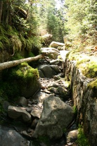
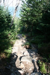
Once I made it back to the summit of Lyon, I decided to take the old trail down, since I had read that the remains of the old observers cabin was along the old trail. The old trail basically is the shortest route down the mountain. It’s also a path for rain/snow runoff, so it’s is severly eroded in spots, making it slow going.
I did come across the site of the old cabin, nothing more than some rocks and cemet slowly being covered by the forest. Got to admire the observers though, making that hike up and down from the cabin to the tower every day, all summer.
The rest of the old trail is basically straight down the mountain, nothing really interesting to look at. If I do this hike again, I’ll stick to the new trail going down also. It took almost the same amount of time going down as it took me going up.
To see all my pics from this day, click here.