Balsam Lake Mountain and Red Hill
Originally I had planned on Hurricane up in the Adirondacks for this day, but due to the weather reports for that area, and since I needed to get these two done for the Fire Tower Challenge, I opted to head to the Catskills. First up, Balsam Lake Mountain.
I arrived at the trail parking lot at 9:30am, just in time it appears. When I got there, only 3 other cars were in the lot. Before I got all my stuff together, about 10 more arrived, all at once. It was a large group, doing one of the other trails in the area, I’m thinking Pakatakan Mountain since I never saw them again after I headed off.
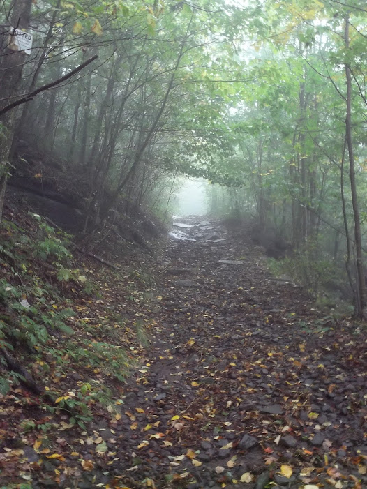
The trail itself was in good shape, just a little bit of water/mud in spots. Some interesting rock erosion along the sides of it…

It was cloudy too…
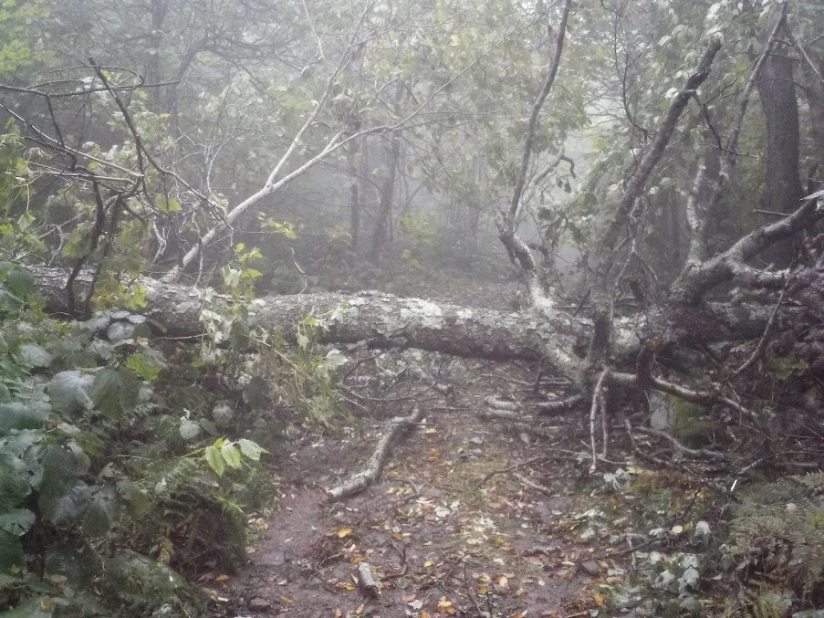
Just a couple trees down, easy to get over, even this one, shortly before the trail split…
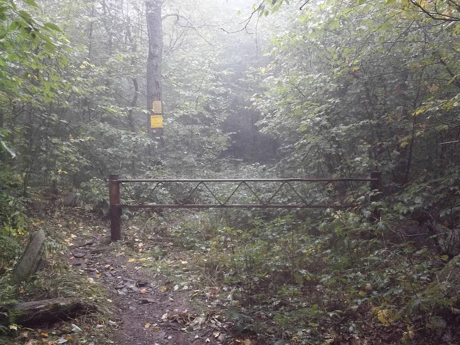
When I reached the split, I was surprised how fast I had made it. I was estimating it would take me two hours to reach the summit. Well, I made it to the split, approx 2.25 miles, it just an hour. Still, .75 miles to go. So I turned off the blue trail and onto the red trail to the summit…
Less than half an hour later, I catch sight of the observers cabin. I’m moving a lot faster than I estimated it would take. I head past it to the tower…
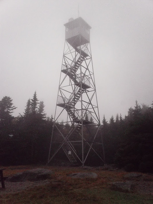
Since I was up in the clouds, I didn’t bother climbing since there would be no views. I did look around for a summit marker but couldn’t locate one. Since I was so far ahead of my time estimates, I decided to continue along the red trail to the other trail split, giving me a mini-loop hike, instead of going up and back. So off I headed, following the signs for the Spring and Lean-To…

It was cloudy too…
Just a couple trees down, easy to get over, even this one, shortly before the trail split…
When I reached the split, I was surprised how fast I had made it. I was estimating it would take me two hours to reach the summit. Well, I made it to the split, approx 2.25 miles, it just an hour. Still, .75 miles to go. So I turned off the blue trail and onto the red trail to the summit…
Less than half an hour later, I catch sight of the observers cabin. I’m moving a lot faster than I estimated it would take. I head past it to the tower…
Since I was up in the clouds, I didn’t bother climbing since there would be no views. I did look around for a summit marker but couldn’t locate one. Since I was so far ahead of my time estimates, I decided to continue along the red trail to the other trail split, giving me a mini-loop hike, instead of going up and back. So off I headed, following the signs for the Spring and Lean-To…
A little ways down the trail I came to the spring, flowing pretty good. Later I hit the turn off to the lean-to. I decided not to check that out since it would add about 1/2 mile round trip and I wanted to beat the rain predicted for the area. And this section of the trail was steeper than the other side, so with the slick rocks I was going slower than I did going up. I did come across another tree down across the trail, this one I had to go around, there was no way to simply go over…

Eventually I reached the trail split with the blue trail on the other side of the mountain. I took me almost an hour going down. I turned to my left and headed back to the parking lot, climbing again, because this side comes out lower to the blue trail than were I turned off before. From here, it’s approx 3 miles to the parking lot, and I did it in about 1 hour 15 minutes. Still faster than I estimated. I only saw 5 other people on the trail, 3 when I was going in, 2 when I was going out.
Eventually I reached the trail split with the blue trail on the other side of the mountain. I took me almost an hour going down. I turned to my left and headed back to the parking lot, climbing again, because this side comes out lower to the blue trail than were I turned off before. From here, it’s approx 3 miles to the parking lot, and I did it in about 1 hour 15 minutes. Still faster than I estimated. I only saw 5 other people on the trail, 3 when I was going in, 2 when I was going out.
Got in the truck and headed over to Red Hill, about an hours drive away, my GPS going crazy for the last couple miles, trying to send me down roads that don’t exist, while I’m driving down roads it doesn’t know exist.
I got to the Red Hill Parking Lot about 2:30pm, no one else in the parking lot, so I’m guessing that even though the signs say the cabin and tower will be open, that they won’t be.
I head off and can immediately see some trail re-routes. Maybe these originally were over private property? The trail itself was easy enough to follow so I wasn’t worried. Almost a mile up, I come across the spring sign…
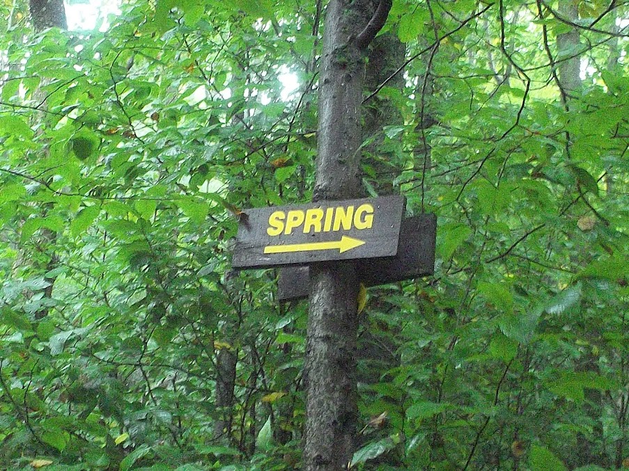
This was flowing good, I stuck my head under it and took a swig…
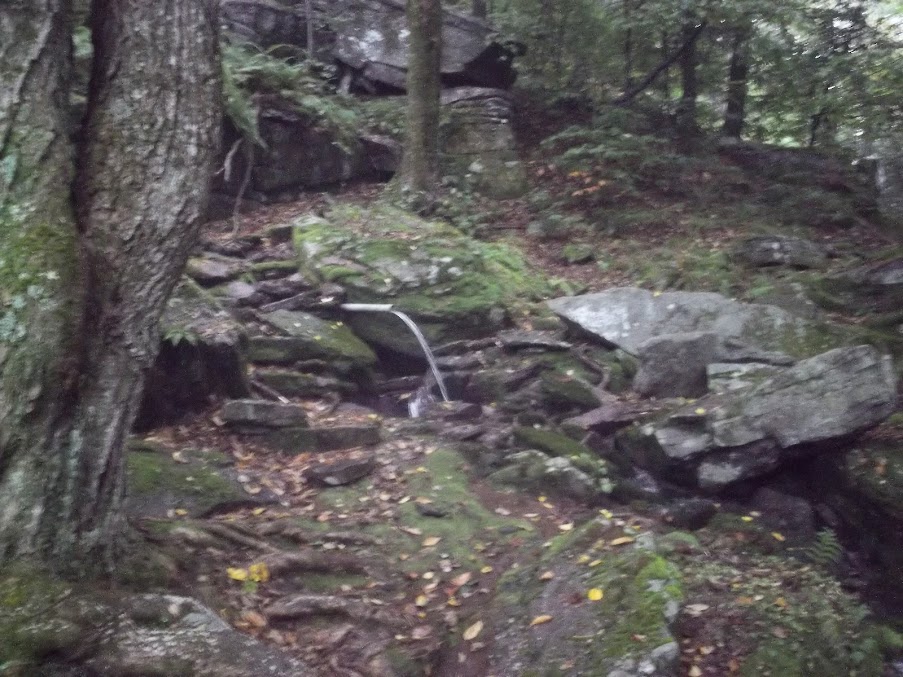
I decided to take a different route back to the trail and instead did some busk whacking straight up, hoping I’d intersect the trail. After 5 minutes or so, sucess. And not long after, the cabin, just about 45 minutes after I started…

Sure enough, no guide at the summit. I’m guessing based on the weather forecast of rain possible all day, they may have not bothered going, since I was the first person to sign the register at the trailhead. I looked around a little, again, not bothering to climb the tower since it was still cloudy…

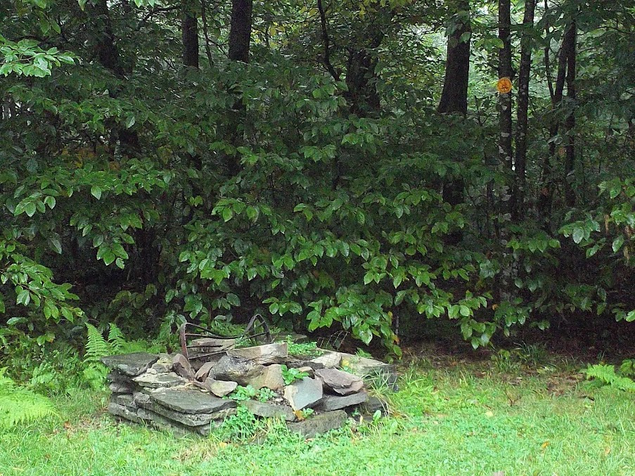
I found it ammusing there is a fire pit with a no-fires marker on the tree above it…
And again, couldn’t find a summit marker. Headed back down and I was almost back to the parking lot when I came across a family of 5 heading up. They may have gotten some views, because about 10 minutes after I left the summit, the sun was trying to come out.
This was flowing good, I stuck my head under it and took a swig…
I decided to take a different route back to the trail and instead did some busk whacking straight up, hoping I’d intersect the trail. After 5 minutes or so, sucess. And not long after, the cabin, just about 45 minutes after I started…
Sure enough, no guide at the summit. I’m guessing based on the weather forecast of rain possible all day, they may have not bothered going, since I was the first person to sign the register at the trailhead. I looked around a little, again, not bothering to climb the tower since it was still cloudy…
I found it ammusing there is a fire pit with a no-fires marker on the tree above it…
And again, couldn’t find a summit marker. Headed back down and I was almost back to the parking lot when I came across a family of 5 heading up. They may have gotten some views, because about 10 minutes after I left the summit, the sun was trying to come out.
Two more towers done, two left to go to finish the challenge.
I liked these two trails, I may go back some day when the weather is better. I summited both faster than my estimates. Not sure if it’s the way the trail is designed with enough flats and inclines, or I’m getting that much faster.
Specs Balsam Lake Mountain
- Miles – 7 miles
- Elev Gain – 1740 feet
- Time – 3 hours 15 min
Red Hill
- Miles – 2.6 miles
- Elev Gain – 896 feet
- Time – 1 hours 35 min
