
The new trail on Moxham Mountain
Recently I had read an article about a new trail that had been opened to the summit of Moxham Mountain. Previously, to get to there you would need to bushwack and have good map and compass skills, because the first portion was a thin sliver of public land, surrounded by private land.
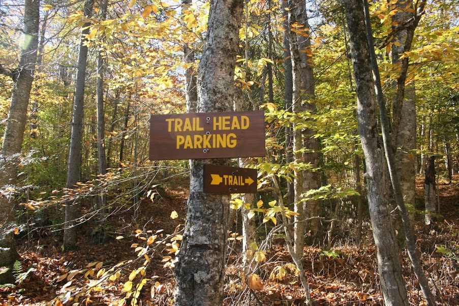
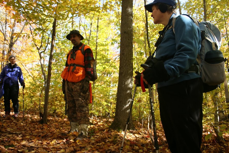
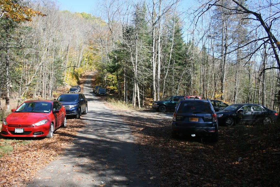
I arrived at the trailhead about 10am and waited a little bit for the other guy, Cordell, that was going to join me on the hike. There’s not much signage at the trailhead, just a Trailhead Parking sign next to the small, only room for 4-5 vehicles, parking lot.
A little past that is a simple arrow sign pointing into the woods.
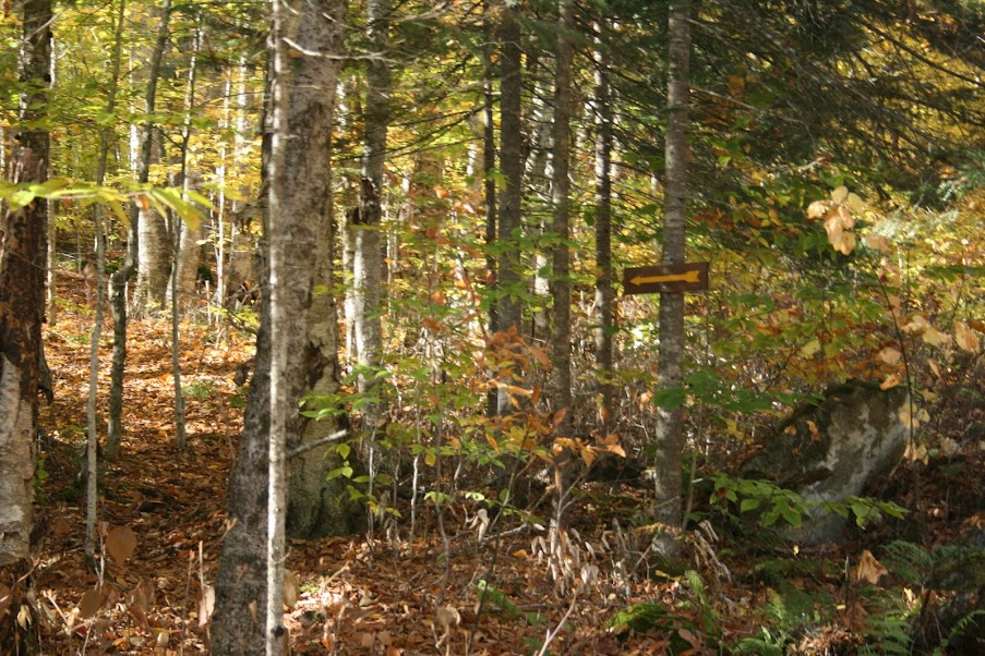
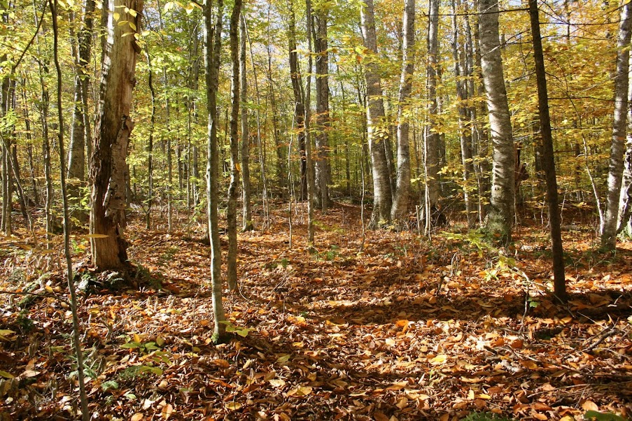
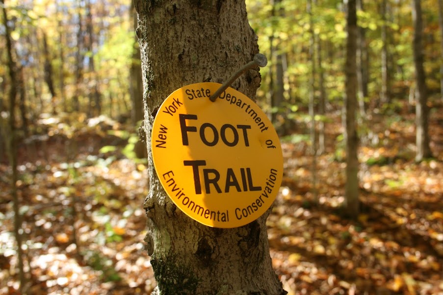
Even with the leaves down, it was fairly easy to follow the trail, and the new trail markers help.
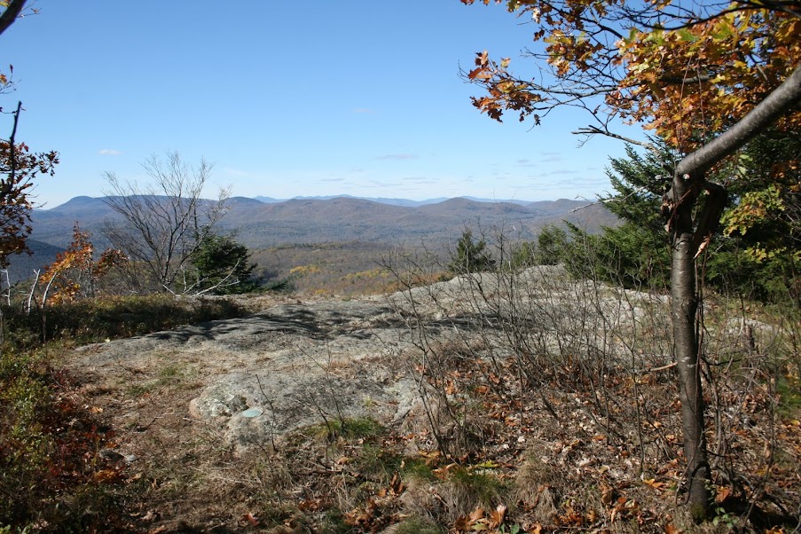
Along the way, there are several places to stop and look at the surrounding hills and mountains. Oh, and it is hunting season.
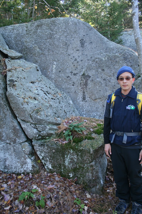
The trail runs along some rock formations, including one we referred to as the “Dentist Chair”. Based on it’s shape it reminded me of one, with a seat, backrest, and headrest perched on top.
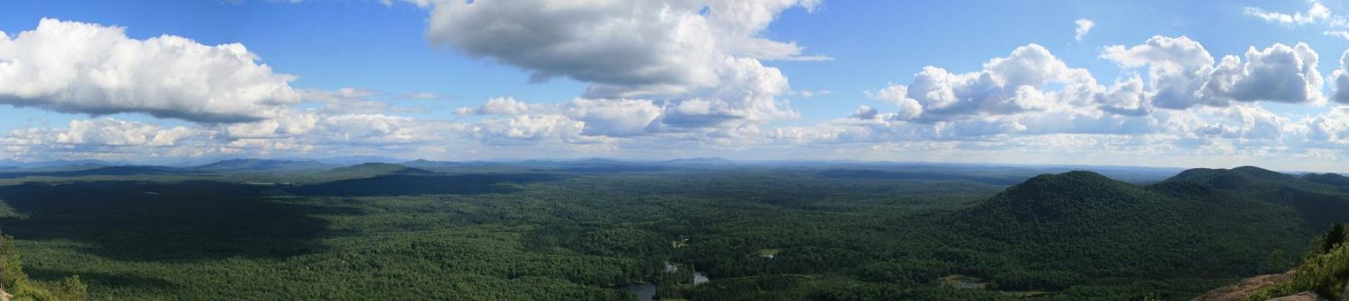
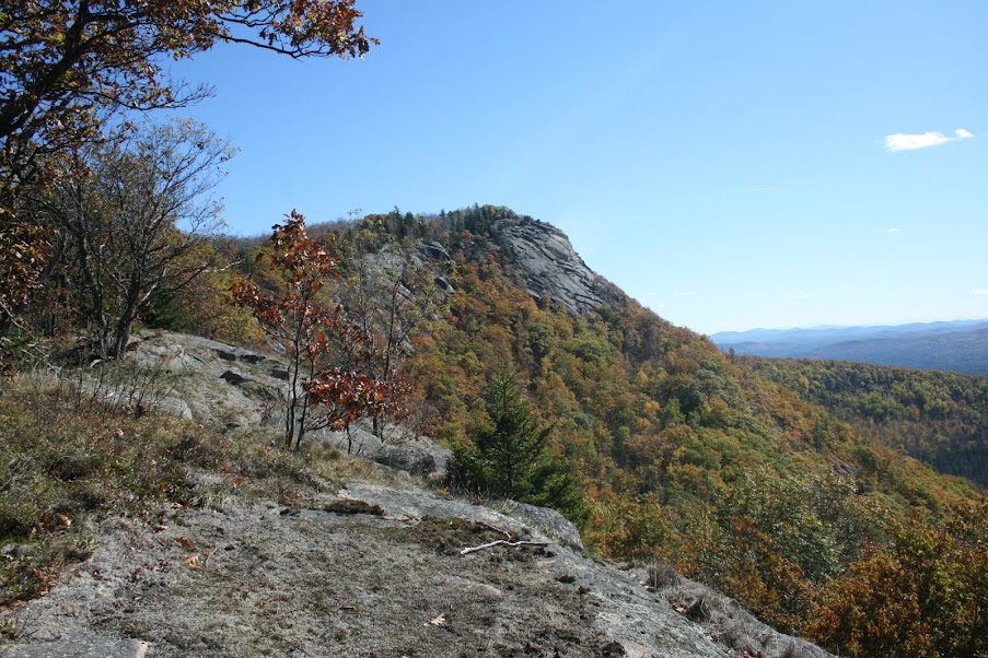
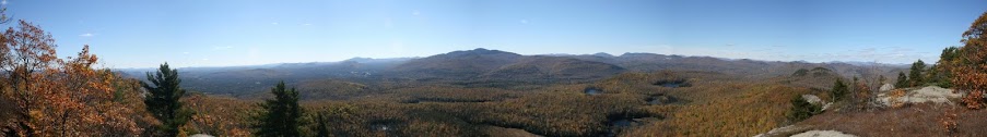
Eventually, we hit the final overlook, the one that anyone that hikes this trail with a camera gets a picture of, the summit, our destination.
About 15 minutes later, we hit the summit
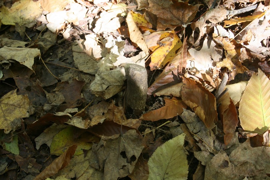
Being a new trail, meant there were many small trees/brush was cut down to clear the path. With the leaves down, that meant a lot of little stumps hidden, and lots of tripping both on the way up and the way down. Here’s one I cleared to get a picture of.
On the way down, we kept seeing people hiking up, so i was wondering if I’d be blocked in by vehicles. Luckily no, but I did count a total of 12 vehicles parked both in the lot and along the road. This trail is already becoming popular and they may need to consider making the lot bigger.
To see all my pictures from this hike, click here
Specs (approx since my GPS screwed up)
- 5 miles round trip
- 1,150 feet elev gain
- 3 hours, 20 minutes